
Published by: Mandira
Published date: 26 Jan 2022
Nepal is a Mountainous country sharing borders with China to the north and India to the west, south, and east. The greater part of the country lies on the southern slope of the Himalayas. The hilly central area is crossed by the Lower Himalayas, where there are eight of the highest peaks in the world. Many big and small rivers originate from these mountains. Most of the big rivers are originated from the snow- cappedHimalayas in the north.
Our Country Nepal is divided into three major physical regions.
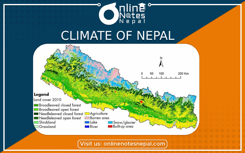
The Himalayan region lies in the northern part of the country. This is the most attractive region of Nepal which covers 15% of the whole land. It is also decorated with the snow capped mountains for all season where the head of the world situated along with other numbers of mountains. The world's highest peak Sagarmatha which is 8848 meters in height lies in this region. Other important peaks are Kanchanjungha, Lhotse, Makalu, Choyu, Dhaulagiri etc. Life is tough here with the lack of land for plantation of crops and scarcity of food. Thus due to the above factors and lack of the means of the survival, the density of population is poor. The climate of this region is cold, dry and windy. It snows almost all the time. Light rainfall takes place during monsoon season. Most of the parts of this region are covered by rocky soil which is not fertile for cultivation. The main occupation of this region is animal husbandry. They rear sheep, goats, and yaks. Dairy farming is a major occupation. Apple and various types of herbs are the major vegetation of this region.
The Hilly region lies in the southern part of the mountain region. It is the rich region for green landscapes and for nice fields. It covers 68% of the total land. Its altitude ranges from 600 meters to 4,877 meters. The Arun valley, which is the world's deepest valley lies in the hilly region of Sankhuwasabha district. This region is rich in natural vegetation like Rhododendrons, pines, Sal, Pipal, etc. The major cities like the capital of the country Kathmandu and scenic city Pokhara lie in this region. The Climate is moderate in this region. It is hot in summer and cold in winter. Plenty of rainfall takes place in monsoon season. Uttis, Salla, rhododendron, etc are the natural vegetations. Red soil is found here which is not so fertile. The major fruits of this region are Guava, Orange etc. Steep hills, Khonch, valleys, tar, basin are the major features of land in this region.
The Terai region lies from the Chure range in the north to the borders of India in the South. It covers 17% of the total land. The climate is tropical here and the life is more comfortable. The altitude varies from 300 meters to 600 meters above sea level. This region has very fine and fertile alluvial soil, brought and deposited by rivers. The soil is very suitable for agricultural crops. This region is also called Granary of Nepal. Plenty of food crops and cash crops are grown here. The density of population is more here nowadays. Once it was covered with the dense forest so no people lived there with the fear of Malaria. National Parks & Reserves are in this region. Evergreen trees like sal, sisau, khayer, etc grow here. The climate is hot. During summer, its temperature goes up to 40 degree Celsius. It receives rainfall during June to September. The eastern part of terai receives more rainfall than the western part. It is affected by floods during the rainy season. This region is covered by the plain land with no hills and mountains. Sufficient rainfall takes place in summer. Banana, mango, pineapple, papaya, etc are the major fruits of this region.